This trail takes us up to the top of what some folks call Wheeler Ridge and then down to Wheeler lake from the Woodchuck Basin Trailhead off of California State Route 4. In the late summer at these elevations the snow is just melting off and wildflowers are bursting from the ground almost everywhere.
Before we get started with the trail description, let me throw a little caution your way. While this trail is not too long, it is almost all up hill or down hill, sometimes steeply, often on exposed slopes, at elevation. Know your physical abilities and stay within them. Also, be aware of Sierra mountain weather. It can go from clear skies to thunder and lightening very quickly!
We start our trek at the Woodchuck Basin Trailhead parking area which is located about 1.2 miles North-East of the North-East end of Lake Alpine on California State Route 4. This dirt parking area is fairly large but this is also a very popular trail for day hikers, equestrians, and backpackers so on busy holiday weekends it can get a bit crowded. If you have 4 wheel drive, you can actually drive further up the dirt road leading to the actual trailhead and perhaps find a spot. On the weekend we hiked the trial, parking was abundant.
Remember that this trail goes into the Mokelumne Wilderness area so only foot or horse traffic is allowed. No bicycles and no motorized vehicles.
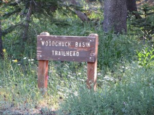
From the trailhead parking area, we follow the narrow dirt road a little less than a quarter mile, generally North, to the trailhead sign. This path takes us up a gentle slope under tree cover. You may notice multiple fire rings along the way. When large equestrian groups come up, you’ll often find these rustic campsites occupied.
From the trailhead sign we continue up hill with a slightly increased slope. We go about a half mile in a North North-east direction for about a half mile to the easy crossing of intermittent Silver Creek.
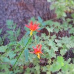
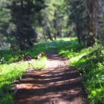
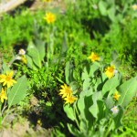
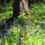
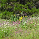
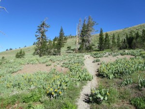
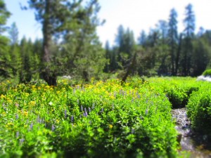
This section of the trail is wooded and we begin to get a taste of the wildflowers that await us on the other side of the ridge. Click on the thumbnails for larger images…
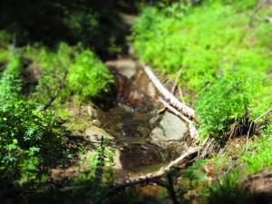
Crossing Silver Creek was a simple step-over for us. We’ve come a little less than 3/4 of a mile so far and the approach to Silver Creek has been a pleasant, shallow, grade with lots of wildflowers to encourage us forward.
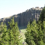
The trail immediately following the creek crossing takes us through a beautiful meadow as we approach the wall of volcanic rock that forms the rim of Woodchuck Basin.
This is a good opportunity to take a break, take some pictures, and get well hydrated because soon we’ll be making our way up the basin wall toward the ridge line.
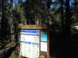
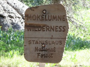
Less than two tenths of a mile from Silver Creek, or about 0.87 miles from the beginning, we come to the well marked beginning of the Mokelumne Wilderness area. Up to this point we have been heading mostly North, making our way up the slope of Woodchuck Basin toward a domineering volcanic wall. After the sign for the wilderness area, we turn toward the West and begin the steady trudge traversing the basin wall, making our way steadily up hill, now at somewhat less gentle slope.
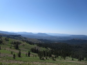
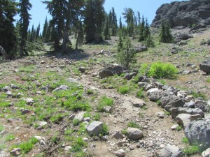
Up to this point, the trail has led us through a mostly wooded landscape. That is about to change. As soon as the trail turns to the west, and begins the climb up the slope of the basin wall, we notice that the cover becomes more sparse, and the track drier and more gravel strewn as we go. For about the next two tenths of a mile, as we continue to climb we are still treated to plenty of mountain wildflower eye candy but it gets thinner and thinner as we go. Also along this stretch we begin to be able to look down into the valley to the South and see Lake Alpine as well as Utica and Union reservoirs.
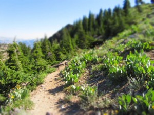
Finally, at just a little over a mile from the beginning of our hike, and a couple tenths of a mile since we turned toward the west in the Wilderness Area, we find ourselves on the completely exposed, mostly South facing slope above Woodchuck basin. From here up to the ridge top there is virtually no cover and the trail goes pretty continuously up hill.
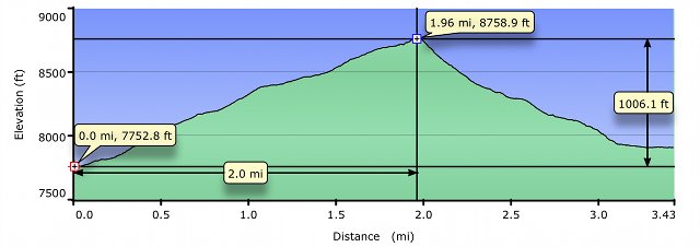
We have already gained almost 630 feet in elevation to about 8382 feet. Over the next nine tenths of a mile we’ll gain another 377 feet where we’ll reach the ridge overlooking the valley where our destination lies.
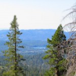
To compensate for the exposed conditions on this stretch of the trail we are granted wide open vistas of the Dadanells and beyond.
From the point where the exposed section starts, it’s about eight tenths of a mile until we first reach the. At this point, we look down into Underwood Valley to the North-West, and Mount Reba almost directly to the West.
At this point there are spur trails off to the East and West that follow the ridge line. However we’ll follow the main trail which now turns to the North East and up for another tenth of a mile or so.
This last uphill section is now on the North West facing slope of the ridge and the conditions are dramatically different than they were on the other side. Here, instead of a bare, sun beaten slope, we’ll often times find the trail blocked by snow all the way into late summer. We also pick up some tree cover for a brief time.
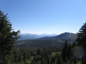
At the end of our almost continuous up hill journey, we’ve come about 1.98 miles and gained over 1000 feet in elevation to 8758 feet. We are met here by spectacular view down into Avalanche Meadow below, and the mountains in the distance.
If the late summer snow hasn’t already turned you back, this is a good place to stop for awhile, assess your strength, stamina, and water supply. The trail section that comes next is even steeper than the one we’ve just come up and the first part of it is again on an exposed slope. Add to that that the first part of the remaining trail is down steep switchbacks on loose scree making footing unsure.
That said, if you’re up to the task, what awaits you down in Avalanche Meadow and Wheeler lake may make it worth the effort. Just make sure you know you can hike out once you have committed by hiking down this slope.
So, from the top of the ridge we continue down a rocky set of switchbacks for the next 500 or so feet, quickly losing about 130 feet in elevation. Keep your eyes open because there are several “false” trails where people have either accidentally or on purpose cut off some of the switchbacks creating much steeper and more difficult alternatives.
At the bottom of the switchbacks we continue North East in a more direct fashion, now entering the wooded forest floor. Our elevation loss (gain coming back!!) continues to be fairly steep but the footing is better than it was on the switchbacks.
We continue North East from the switchbacks for a little less then two tenths of a mile where the trail turns to the South East, toward the inside of a bowl formed of volcanic rock, and Avalanche Meadow. Just a bit further on, now 2.32 miles from where we started we come to our second intermittent stream crossing.
From this intermittent stream we continue South East for about 3 tenths of a mile still making our way down the North East facing wall of the gigantic bowl. At that point, about 2.6 miles from our beginning, the trail turns North East.
As we get deeper into the bowl, it’s obvious that there is much more water and the conditions are much less harsh than on the ridge line.
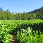
Continuing now to the North East for less than 2 tenths of a mile, we come into the stunning Avalanche Meadow and our closest approach to the babbling creek that flows out of it to feed Wheeler Lake. Fed by melting snow around the bowl that surrounds the meadow, the wildflowers here were amazingly prolific and were growing almost head high.
At this point, about 2.78 miles from where we started, we’ve dropped back down over 600 feet from the ridge top. The area in the immediate vicinity of the meadow has a shallower slope than that leading up to it or that which lies ahead. It’s really an awesome place to take another break, take a bunch of pictures, and get hydrated.
From Avalanche Meadow we turn toward the North West and travel down an increasingly steep slope for about 1/3 of a mile to the Wheeler Lake basin. In just a few hundred more feet, we come to a trail marker indicating that we are at the junction of the Sandy Meadow trail to the right and Frog Lake trail to the left. Straight ahead is our destination, Wheeler Lake.
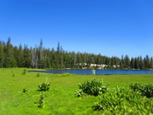
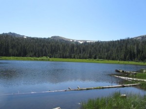
Wheeler Lake is a very attractive lake for camping because it has quite a few good camping spots near the lake but under forest cover. We started down the trail toward Frog Lake, around the South end of the lake. Just a little ways off the trail under nearby trees to the West, we saw several inviting camp sites. We also saw plenty of evidence that this area is sometimes frequented by range cattle which I suppose could dampen the camping experience.
At the point where the Frog Lake trail begins to move further from Wheeler Lake, we made our way, easily, cross country toward the North shore of the lake. We stopped at a point that looked like a nice campsite and had lunch.
From the North shore you can look back and see the volcanic bowl that feeds Avalanche Meadow and Wheeler Lake.
Well, we’ve come almost three and a half miles now, and the mile coming down from the ridge line into the Wheeler Lake basin was fairly steep coming down. But, as usual…. it was much steeper going back up! Unless you are in tip-top condition, and completely acclimated to the elevation, coming back up to the ridge from Wheeler is definitely a place where you want to pace yourself and take lots of breaks.
Once you make it to the ridge then, as they say, “it’s all downhill from here”. Also, since most of the trail coming back down from the ridge is not as steep as on the other side I found that I was able to maintain a good pace all the way back to the parking area.
I hope you’ve enjoyed this trail description and the pictures I’ve shared here. I also hope that someday you get to enjoy some or all of the trail as much as I did. Just know your limitations and don’t get yourself stuck in a situation you can’t get out of.
I’d love to hear your comments!
joe


Joe,
Great description of this hike. I never knew the elevation change, total distance, etc. What a great resource you are creating. I’ll be pointing more people your way. Thanks.
Here is a video I created a few weeks ago of our hike up to the ridge:
[youtube]http://www.youtube.com/watch?v=gcsHuSmv1KI[/youtube]
Thanks,
Carl
Thanks, Carl.
Appreciate the video link. The one I’m working on is going to be an abbreviated version of the trail description but with video and lots of pictures.
joe
Great pics Joe! Cant wait to be up in the Sierras next week!!!
Thanks Kate! Glad you enjoyed them. Did you check out the video?
Make sure and share with neighbors!
Also, if you click on the pictures many have a much larger version that will appear.
joe
I did Joe! It is really great, excellent shots, and music! I would love see a little of your lovely wife though
My naughty dog, Roxy and I just hiked it today… It is one of the most beautiful hikes ever… such interesting terrain. I started at 8:15 am, and there was not a soul until I began to make my (much appreciated) descent (you were right about the coming up on the Wheeler Lake side being a lot steeper than the traveling down!)
On the way down I passed only 2 groups of women hiking. Thanks for publishing your hike. It inspired me to take it! I look forward to hearing about more hikes in the area. So far, this has been my favorite, although I really like Bull Run Lake, too… from Stanislaus Meadow.
Wow! I hadn’t looked at the video… just the pictures. What a wonderful “tour.” Thanks!
You’re quite welcome. Glad you enjoyed the viedo and the hike!
I was going to do the Bull Run Lake hike this weekend but need to take care of some things instead. I think I’ll make that one my next hike article though I may throw in a road trip first.
joe
Our family has enjoyed our cabin in this area since the late 60’s and wish I had explored more of the areas as you have. Excellent job of sharing your trips as now that I am 70 and not in good health, I can still enjoy the scenery thanks to you. Keep up the wonderful work.
Did the first part of this hike last summer. It was just as wonderful as the video promised!
Does anyone know if the trail is clear/passable yet for this season?
We are looking at planning an overnight backpack version of this hike from Woodchuck Basin to Wheeler Lake toward the end of July.
Has anyone else camped there and willing to share any details?
As of July 5th, 2011, the trail head was still under a lot snow. Enough of a clearing for 1 car, but you’ll still need to go over A LOT of snow to get to the higher parts of the trail to see it clear. In past years, it takes much longer for trail to Wheeler Lake to clear once over the ridge. I’d check it out before committing to a backpack.
We hiked there last night. There are some patches of snow along the road but once into the wilderness they are melted and we got to the ridge without problems. But then there is still quite a snowfield on the other side. The hike was beautiful, but many of the mules ears were just sprouts, way later than usual.
The family made it into Wheeler Lake from Woodchuck Basin on August 11. Back out on the 12th. Great hike each way, but challenging for some of the family carrying the heavier packs.
The Lake level was full, and on the descent from the ridge, you could still hear one of the feeder streams coming down along with us. Must be artesian spring-fed as obviously there was no more snowmelt coming down from Avalanche Meadow.
Plenty of “noisy company” along the last part of the hike and at the Lake itself in the form of the grazing cattle and their cow-bells We camped on the West side of the lake, keeping clear of the spot designated as no camping due to site restoration.
Saw some great meteors from the Perseid shower, but the most startling thing at the lake was the three different BIG crashes heard throughout the night as some big trees came down. Quite surprising since there was no breeze at night…wonder if that’s a normal occurrence or if the trees are suffering from some kind of stress?
Saw some cowboys from Angels checking on the cattle Sat night. One got bucked off his horse right into the muck at the side of the lake. Ouch!
There was only one other group camping overnight at the lake that we heard. They were on the south/southeast side. On the way out this morning, we saw many day hikers coming in that made us really feel like slow-pokes with our gear.
What a great trip! Thanks “Sierra” Joe for inspiring us to take this one with the Trail Tales overview and video. It was a great experience for the entire family which included 60-something grandpa and 10 and 15 year old kids!